Merritt Island Waterfront Canals, Bridges & Boating Access
March 5, 2026
March 5, 2026
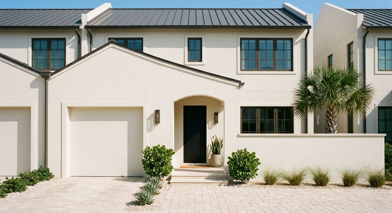
Shopping Merritt Island waterfront and trying to decode which canals, bridges, and locks will actually work for your boat? You are not alone. On this island, water access lives or dies on draft, bridge clearance, and whether a canal was dredged recently. In this guide, you will learn the key canal types, the rules that govern the bridges and the Canaveral Lock, and the due diligence steps that protect your purchase and resale value. Let’s dive in.
Three factors determine whether a property truly works for boating. First, canal and channel depths decide how much draft you can carry. Second, bridges set your air‑draft limits and your daily schedule. Third, lock hours and any temporary restrictions can change how and when you reach the ocean. Each variable affects day‑to‑day usability and your future resale.
The Canaveral Barge Canal cuts across the north end of Merritt Island and connects the Indian River Lagoon to Port Canaveral and the Atlantic. The Canaveral Lock is run by the U.S. Army Corps of Engineers and is the most reliable engineered ocean access for the island’s northern neighborhoods. As of March 2026, the Corps notes that vessels with up to about 12 feet of draft can lock through, and a typical lockage takes 20 to 30 minutes. You can review current hours, contacts, and procedures on the Corps’ Canaveral Lock page at the time you plan to transit. USACE Canaveral Lock
For larger or wider boats, always check for temporary Notices to Navigation that can limit lock width or operations. Even when your draft is fine, a width restriction can pause your plans. Buyers who expect regular ocean runs should factor lock hours and any posted notices into their routine. USACE Canaveral Lock
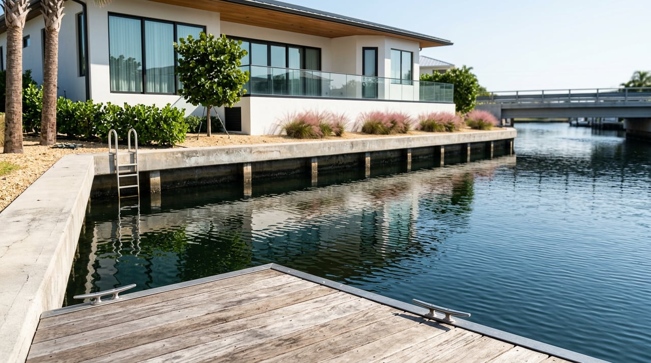
Merritt Island is bordered by the Indian River Lagoon to the west and the Banana River to the east. The Banana River is a shallow estuary with an average depth around 4 feet in many lagoon areas, and a number of backyard canals and slips are in the 3 to 5 foot range at mean low water. That means many boats must stay in marked channels and time transits with water levels. Banana River overview
If you are bringing a deep‑draft vessel or a tall sailboat, assume that the Banana River side requires careful route planning and local knowledge. Confirm charted depths, speak with local dockmasters, and use tide predictions before committing to a property that depends on shallow channels. Banana River overview
Many of Merritt Island’s residential canals were cut decades ago and have since accumulated muck and silt. Depth can vary block by block, even within the same subdivision. The county’s recent multi‑year muck removal work in Sykes Creek shows how targeted dredging can restore navigation and improve water quality. When a fairway regains depth, the range of boats a property can host expands, which can support long‑term resale value. Sykes Creek dredging program
Do not treat the word “waterfront” as a guarantee of boat access. Ask for measured depths at mean low water at the dock and along the approach canal. If dredging is planned or recently completed, request documentation and timing so you can understand how usable depth will change.
Bridges affect both air‑draft and timing. For many Merritt Island routes, the Christa McAuliffe bascule bridge on Courtenay Parkway (SR 3) and the SR 401 bridges at Port Canaveral are the main controls. The operating schedule for these drawbridges is set in federal rules, which means your routine may include scheduled openings or advance notice periods. 33 CFR §117.273 drawbridge rules
Under 33 CFR §117.273, the Christa McAuliffe drawbridge opens on the hour and half‑hour from morning to late evening, with rush‑hour exceptions and nighttime procedures that may require notice. These rules are binding for navigation planning, so you should expect waits if your boat cannot pass under the bridge when closed. Drawbridge schedule
The Christa McAuliffe bridge has a charted closed vertical clearance of about 21.6 feet at mean high water, which directly controls whether many powerboats and most sailboats can slip under without an opening. Your effective clearance changes with the tide, so check NOAA tide predictions before each transit to compute your safe margin. As of March 2026, the closed‑clearance figure is documented in federal bridge engineering notes. Bridge clearance source NOAA Trident Pier tides
Mathers Bridge (CR A1A) is a swing bridge on the Banana River. It generally opens on signal, though nighttime periods can require advance notice under the governing rule. If you plan Banana River transits with a tall air‑draft, confirm the current operation schedule before labeling any property as sailboat accessible. Mathers Bridge rule
Parts of the Barge Canal and waters near Port Canaveral are subject to Coast Guard security zones under 33 CFR §165.705. These zones may activate for ship movements or special events and can affect route timing. In addition, portions of the northern Banana River and nearby areas are tied to federal lands and refuges with specific access rules. Know your likely route and whether it crosses any restricted areas. Port Canaveral security zones
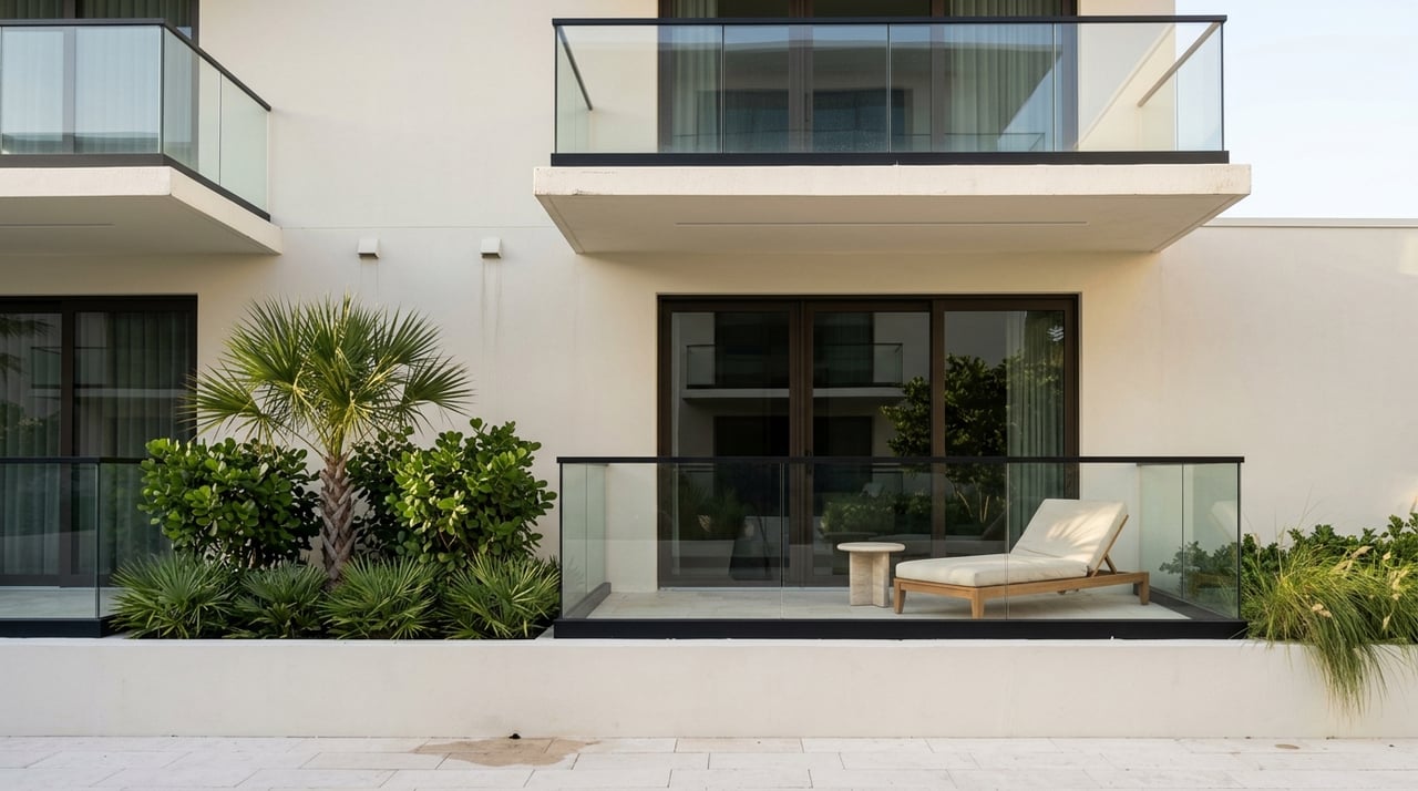
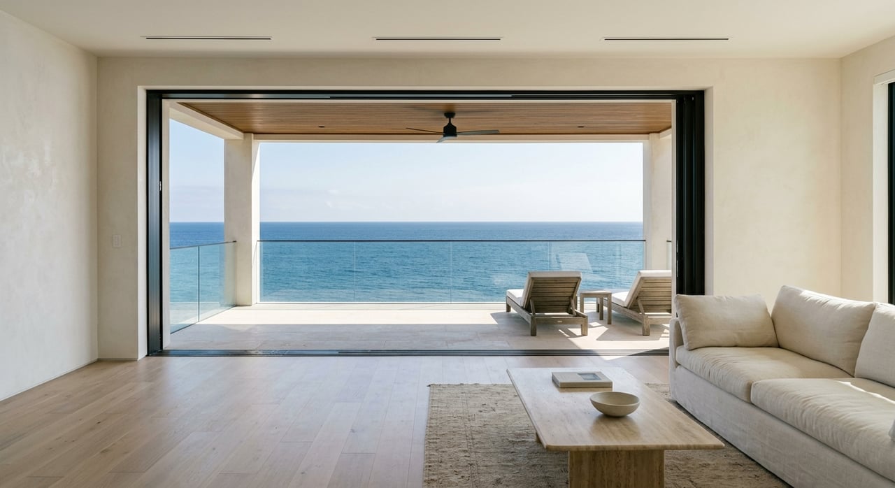
On Merritt Island, water access is not binary. Two homes with the same view can have very different boating utility depending on controlling depth in the canal, bridge schedules, and whether the route requires a lock. Properties with direct or near‑direct connection to the Canaveral Barge Canal or Sykes Creek often support larger powerboats and more predictable ocean access, which many buyers value.
Shallow backyard canals on the Banana River side can still deliver a great lifestyle for flats skiffs, bay boats, and paddlecraft. Just be clear about the practical draft you can carry and the air‑draft you can pass under without waiting. Documented depth and straightforward operating rules help your agent market those advantages at resale.
Imagine you own a 40‑foot motor yacht drawing 4 feet and standing 20 feet to the top of the hardtop. If you buy near Sykes Creek with a measured 5 to 6 feet at mean low water to the canal fairway, your draft is comfortable. You will still plan around the Christa McAuliffe bridge’s closed clearance of about 21.6 feet at mean high water. On many days, a lower tide gives you ample margin to pass without an opening.
If your yacht stands 24 feet, your route will require scheduled openings under 33 CFR §117.273. Add the Canaveral Lock cycle time and you can estimate a typical door‑to‑ocean transit. This is the kind of analysis you should complete before you write an offer.
Use this simple checklist to protect your purchase and day‑to‑day boating. Complete each step before submitting an offer.
Seasonal factors can alter operations and access. Manatee protection system work or wildlife considerations have led to temporary lock schedule changes in the past, which is why checking current notices is smart before you plan a transit. Seagrass protection and refuge rules also influence where dredging and new structures may be permitted, so ask sellers for any environmental permits tied to the dock or seawall.
When you verify these items up front, you reduce surprises after closing and increase your confidence that the property fits your boating lifestyle.
You get the most out of Merritt Island waterfront when you pair a home you love with a route that works for your boat. Focus on measured depths, bridge rules, and lock logistics, and you will quickly spot the properties that deliver real access versus ones that only deliver a view. Documenting these details also strengthens your resale story for the next owner.
If you would like a clear plan for property selection, route modeling, and a smooth close, connect with our team. We combine neighborhood mastery across Merritt Island with concierge guidance and global exposure for when it is time to sell. Reach out to Jamie Dandridge to start a tailored conversation about your goals.
Stay up to date on the latest real estate trends.
Trust him for distinguished real estate service along Melbourne Beach’s coast. With his luxury-market expertise, local insight, and dedicated support, he ensures your buying or selling journey is seamless and successful.